Vár-Liget Guesthouse

Kisnána – Halfway between history and nature

A week's worth of experiences, just an arm's reach from the guesthouse.

Mátrai programok - Kisnánai vár

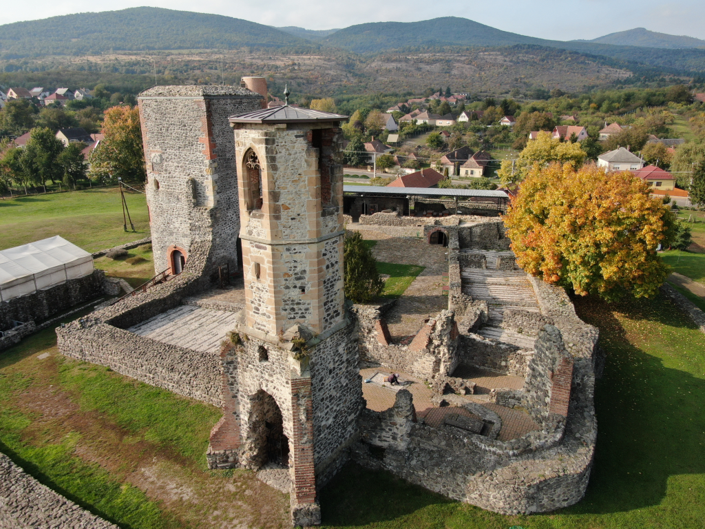
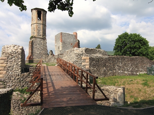
The Kisnána Castle

More than just ruins

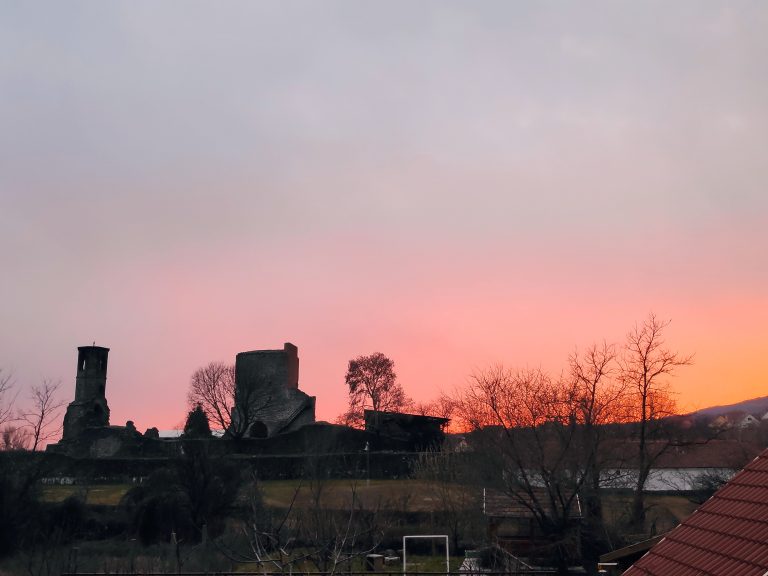
It could be described with many words, but certainly not this one: the Kisnána Castle is no ordinary castle. Or more accurately, a castle ruin, which after its 2010-2011 renovation, awaits visitors with new experiences.

Mátra Programs - Recommended Itinerary

6-Day Bucket List

Arrival in Kisnána (approx. at 2:00 PM)

Activity: visiting the Kisnána Castle. It is open from March 1st to December 21st, Wednesday to Sunday, from 10:00 AM to 5:00 PM, making it ideal for a pleasant early afternoon stroll.

A short hike at the foot of the Mátra

Activity: we have the opportunity for a pleasant little morning hike without even leaving the village. Following a designated trail, we can reach the Kecskefejes rock in the Ördögvályú valley, where, according to legend, László Móré's treasure can be found. Check out our tours! If we still have energy upon returning, we can have a spontaneous bacon roast by the campfire in the guesthouse garden, or hop in the car and take a walk on the shore of the reservoir lake in the neighboring village of Markaz. We'll quietly add that fishing is also possible, just don't be surprised if someone in your group ends up staying by the water.

Spa time!

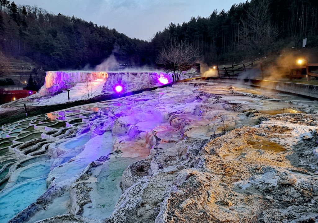
Activity: fortunately, several nationally outstanding spas are located near Kisnána, so you can pick and choose if you want to bathe, but we recommend only one per day. There is, for example, Egerszalók, known for its salt hill, which is unique in Europe. Besides bathing, you can also buy cosmetics made from the local thermal water. We could also mention the recently opened Cascade Cave and Adventure Bath in Demjén, which offers an inimitable experience in an artificial cave system. If you prefer not to get wet, that's possible too: there are two mofettes nearby, which are dry carbon dioxide gas baths. The latter is mostly recommended for therapeutic purposes, especially for certain cardiovascular diseases, but it's definitely worth inquiring about beforehand! Luckily, it is available in both Parádfürdő and Mátraderecske.

Egerszalók:

Demjén:

Parádfürdő:

Mátraderecske:

eger

A pleasant day in Eger

Activity: there is perhaps no one in this country who doesn't know the name of Eger from somewhere. Some remember its baths, some think of its fine wines, while others associate it first with historical monuments and the castle. We recommend taking a light walk in the city center in the morning, followed by a delicious lunch in one of the restaurants, and in the afternoon, depending on your taste, a visit to the castle, the Turkish Bath, or the Thermal Bath. Under no circumstances should you return without wine; you can purchase some in the Valley of the Beautiful Woman or at a local wine shop.

Excursion to the top of the country

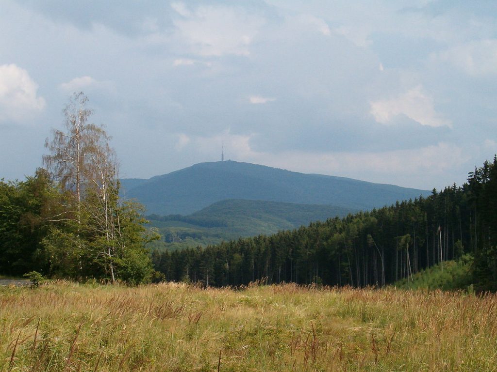
Since we are already at the foot of the Mátra, it would be a huge mistake to miss visiting Kékestető, Hungary's highest point (1,014 m). However, to structure the day reasonably, let's pop over to Gyöngyös first and look around the town!

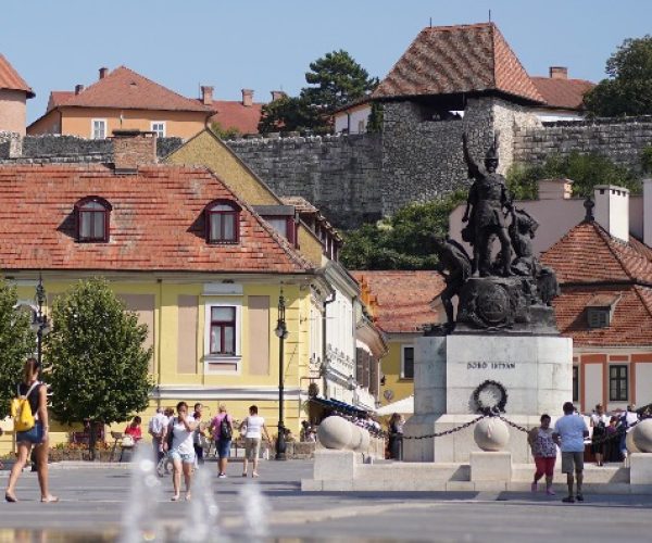
Gyöngyös is the "Gateway to the Mátra", where it's worth taking a morning walk on the charming Main Square, where fountains and cafes exude a true small-town idyll.

What is unmissable, however, is the Mátra Museum: in the Orczy Castle, not only does the country's only complete mammoth skeleton await you, but also a fascinating natural history pavilion and a beautiful park.

For culture lovers, the Treasury of the St. Bartholomew Church is a true hidden jewel box. The tower lookout of the St. Bartholomew Church is truly unique.

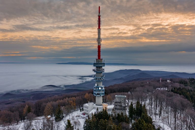
After this, we have nothing left to do but continue towards Mátraháza, from where we can turn onto the road leading to Kékes. And once we are up there, let's take a good walk, take photos with the red-white-green stone at the peak, and under no circumstances miss the view from the TV tower, as in clear weather you can see the whole surrounding area.

Gyöngyös:

Gyöngyös-Kékestető:

Recharged and rich in experiences

By now, you have spent 5 nights and 4 incredibly eventful days at the Vár-Liget Guesthouse. Unfortunately, you have to pack up in the morning and head home, but you should know that Kisnána always welcomes you back for another similarly meaningful and experience-rich week!

Discover the hidden trails!

Two custom-designed hiking trails, starting right from the house, with an interactive map.

Hike to the Csurgó-kút (spring)

Detailed route description and photos (Click to expand)
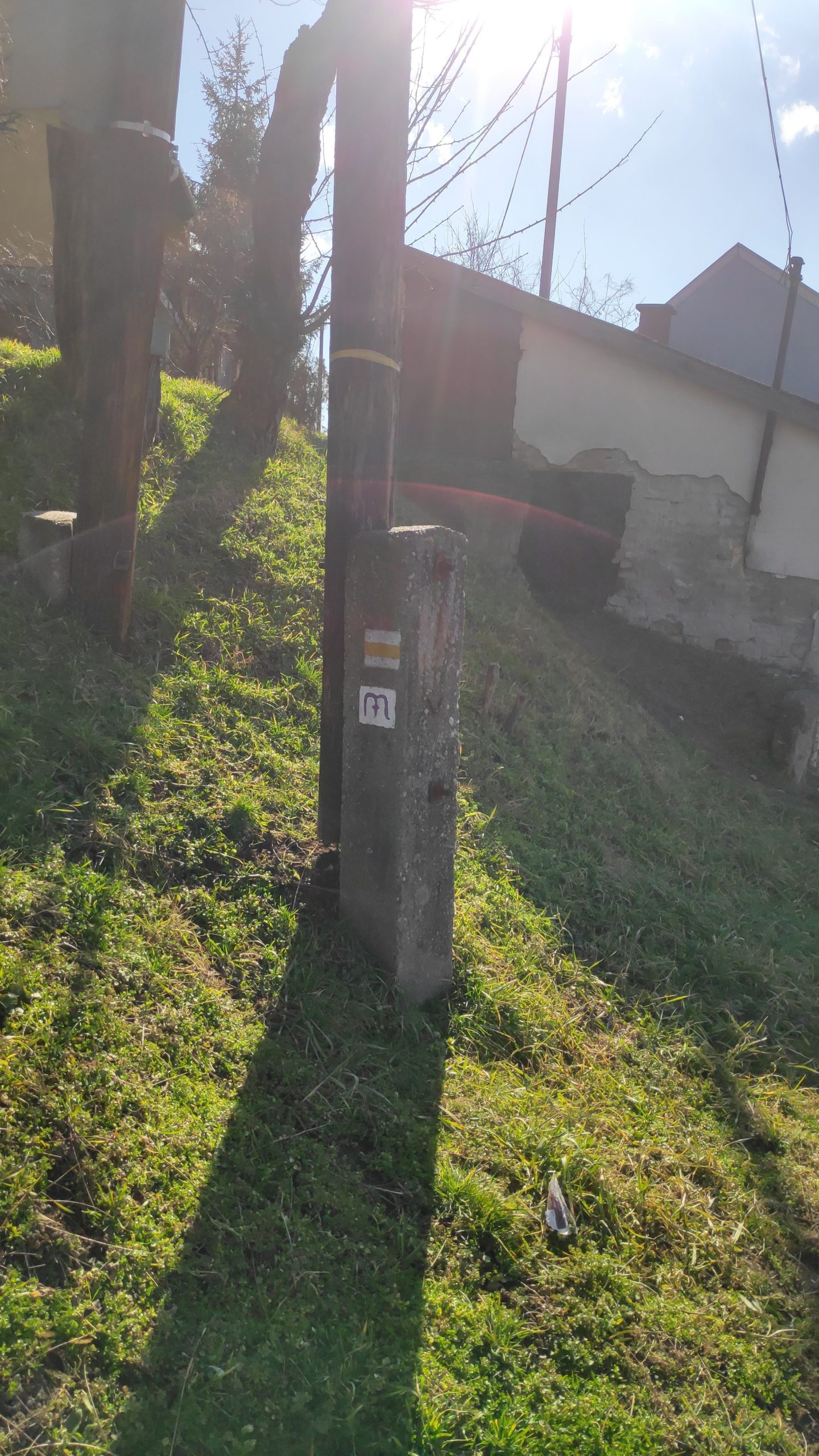
Hiking trail marker on Kossuth street

Starting from our starting point, the Vár-Liget Guesthouse, we turn past the shop opposite and begin our journey on Kossuth Lajos street, following the yellow stripe trail marker. After covering 200 meters on the road, we turn left (at the playground) onto Alkotmány street, which, after a Y-junction, bears right onto Reviczky Ottó road (all the while following the yellow stripe marker). Leaving the village, after walking 400 meters, we continue our journey to the left at the intersection. Continuing on the stony road for 730 meters, we reach the 'Úsztató'. Passing next to the building on the left, right beside the wall, we find our first checkpoint painted on a stone on the left side of the road.

Checkpoint, the marker needs repainting

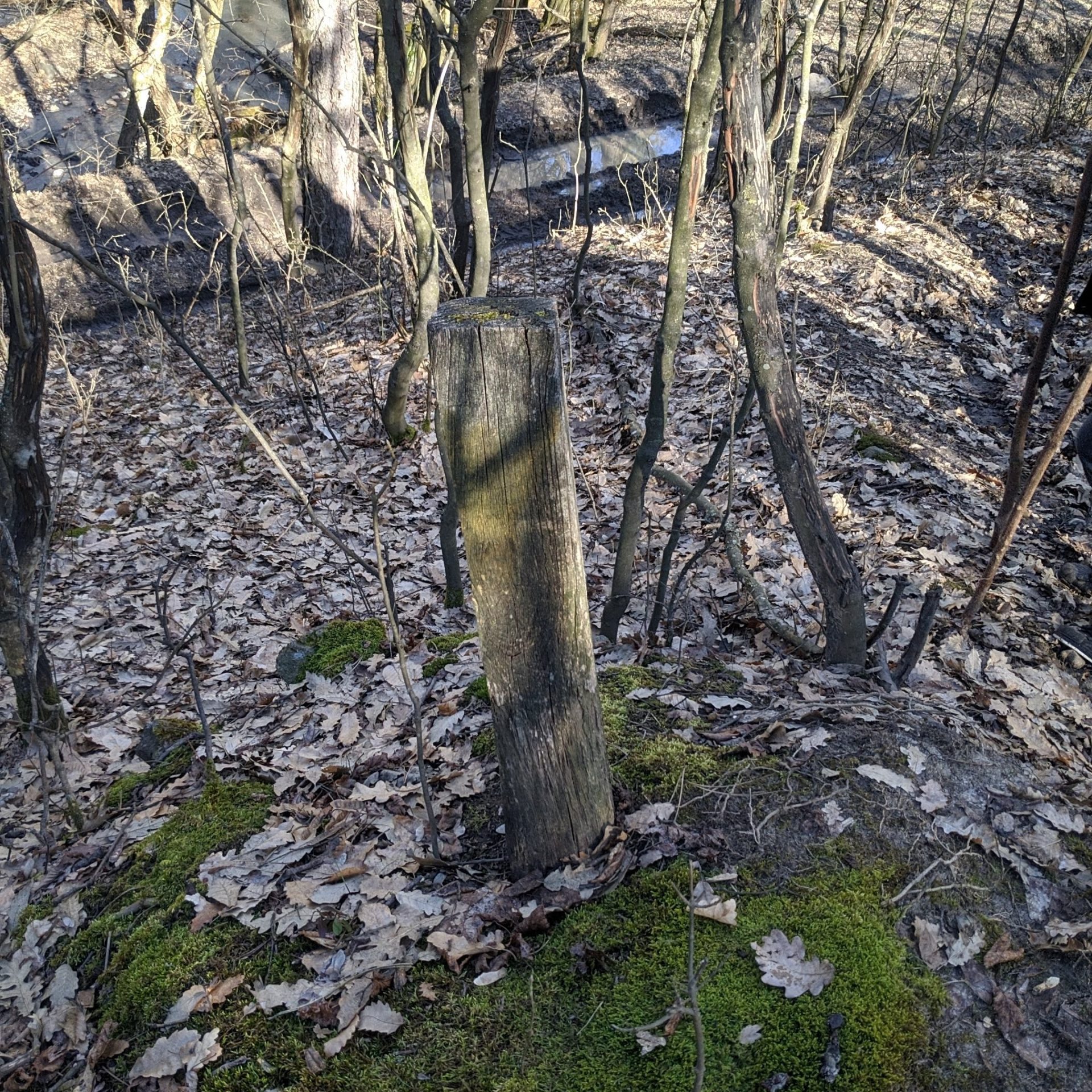
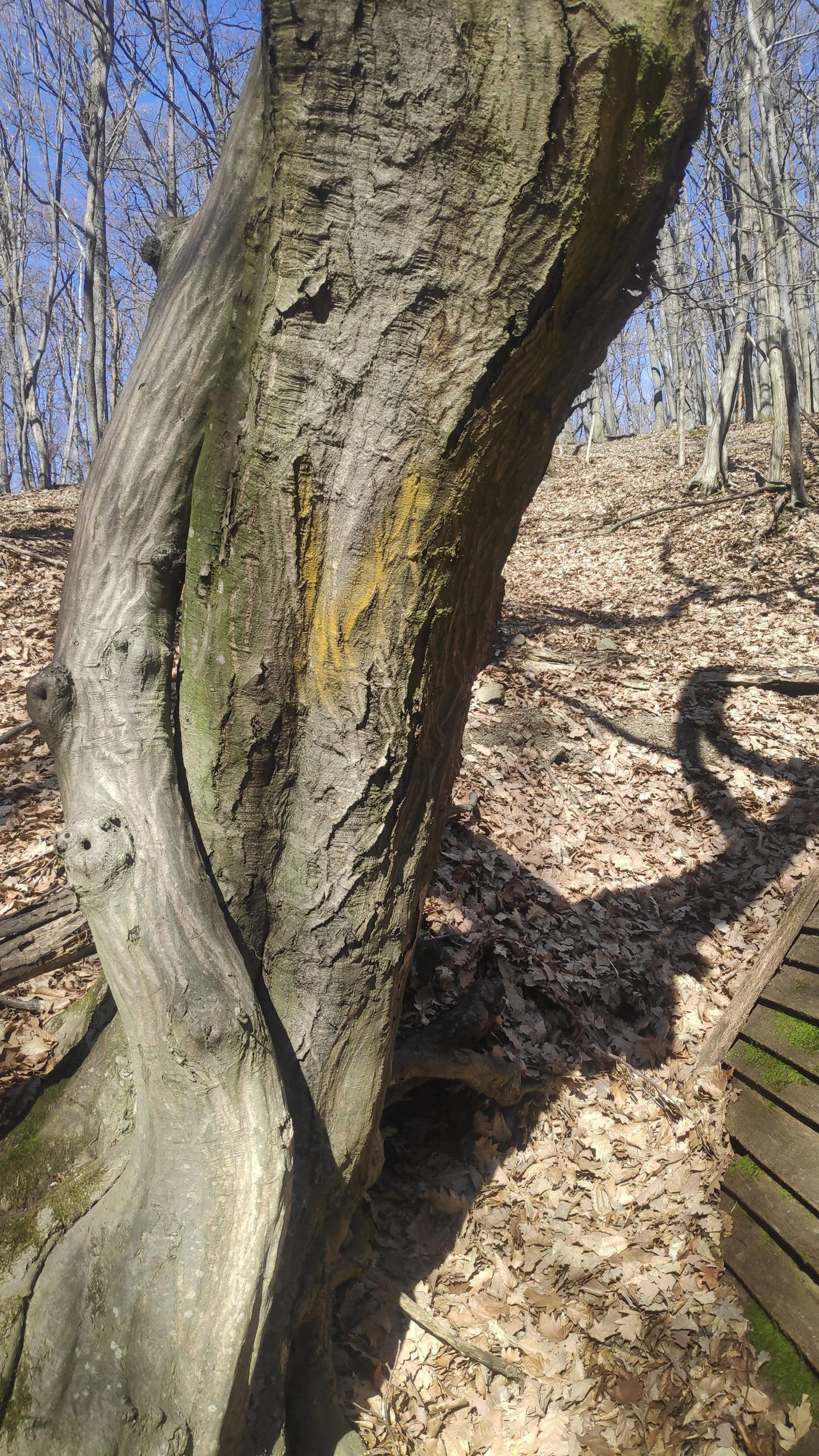
From here we continue our journey, still following the yellow stripe marker. We enter the forest, and our path takes us alongside the Első-Tarnóca stream. After nearly 3 kilometers, we reach our next checkpoint, located at the foot of Jóidő Hill, painted on a tree. Here we leave our current path and continue on the blue circle marker.

Checkpoint, the marker needs repainting

Following the blue circle, bypassing the peak of Jóidő Hill (which can be climbed if you have the mood and opportunity), we reach the highest point of our hike. After 1.4 km from here, our trail joins the yellow cross marker, on which we travel Northwest for nearly one and a half kilometers to reach our destination, the Csurgó-kút (spring).

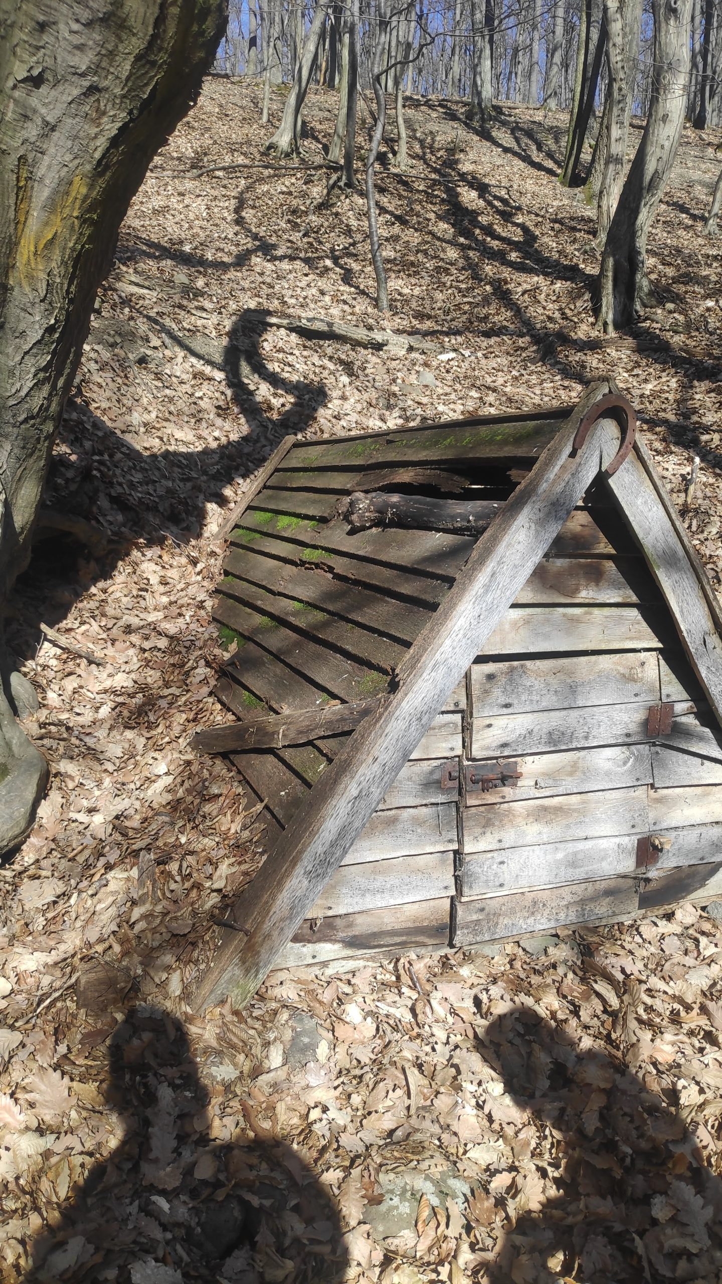
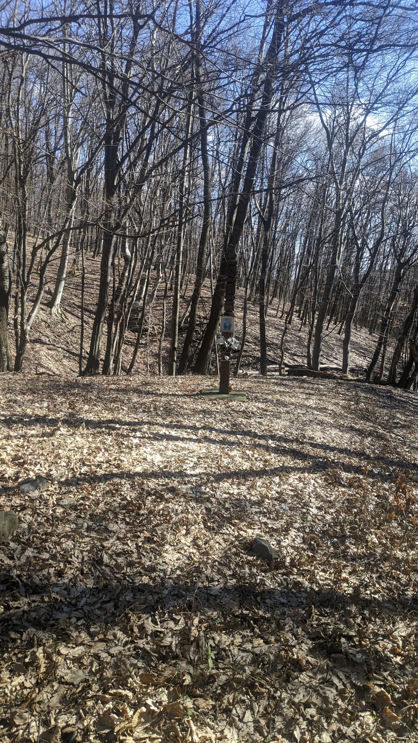
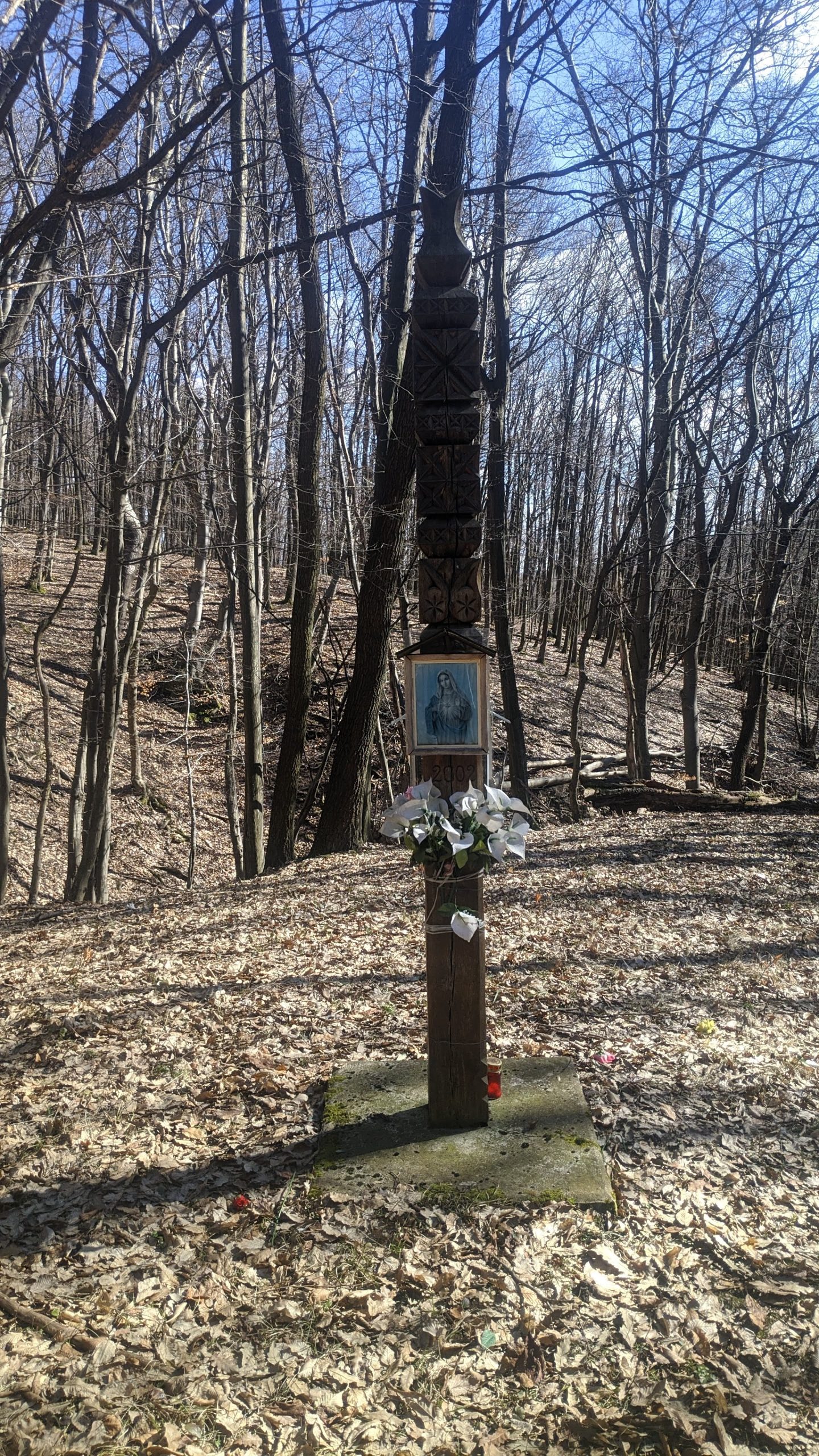
On the right side of the road, we can see the Mary "picture-tree" (Mária "képes-fa"), which gained its current form in 2002. Crossing the bridge, we find a resting place with the well itself (if you want to draw water from it, the use of a bucket and rope is highly recommended!), and a fire pit. We find the checkpoint on the tree growing from the base of the well. On the left side of the road is the Csurgó shelter, which is open to everyone in case of extreme weather. The shelter was built by the Mátra-Csurgói Forestry Association in 2002. Next to the house, we can find another resting place, also with a fire pit.

Tatárka clearing

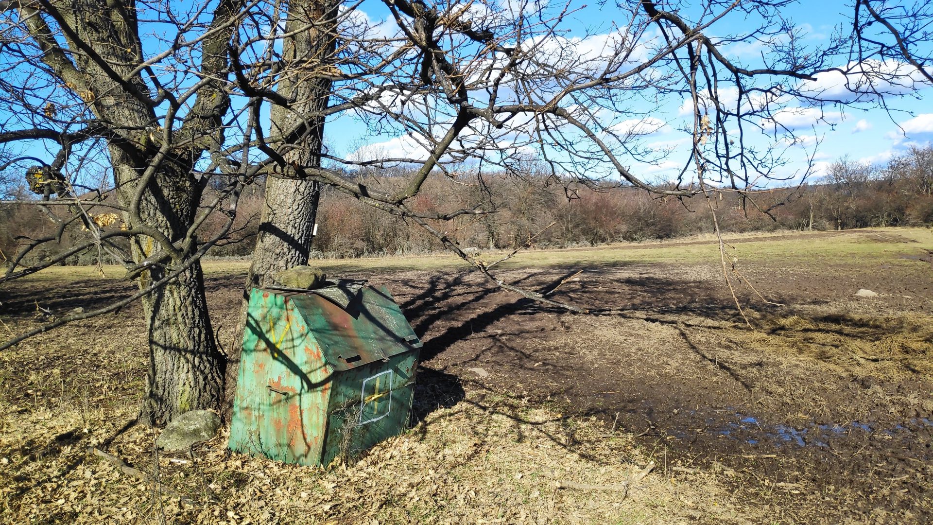
After resting, and perhaps roasting something on a spit, we head back towards the village. After covering 400 meters, we return to the intersection where the blue circle joined, but now we continue straight ahead in a South-East direction, following the yellow cross marker. After 2 km, we reach the Tatárka clearing; here we find the 4th checkpoint on the side of a box at the base of a tree next to the road.

Tatárka clearing

Leaving the clearing, still following the yellow cross, passing through a thicket and a pine forest, we return to the road with the yellow stripe marker, from where we can get back to the Guesthouse on the already familiar path.

Hike to the Macskavár in Kisnána

Detailed route description and photos (Click to expand)
The Macskavár in Kisnána

From our starting point, the Vár-Liget Guesthouse, we set off towards the castle on Szabadság, then Béke streets. Leaving the castle behind, we continue our journey on the Mary (Mária) and Yellow arc routes, still on the main road. Opposite the doctor's office, we can see "Rákóczi's tree", whose three trunks, according to legend, grew from weeping willow twigs stuck into the ground by Francis II Rákóczi and his two generals. You can read the full tale among the legends! This tree is also our first checkpoint. The yellow V is painted on one of the tree's trunks, which has (unfortunately) been cut down since.

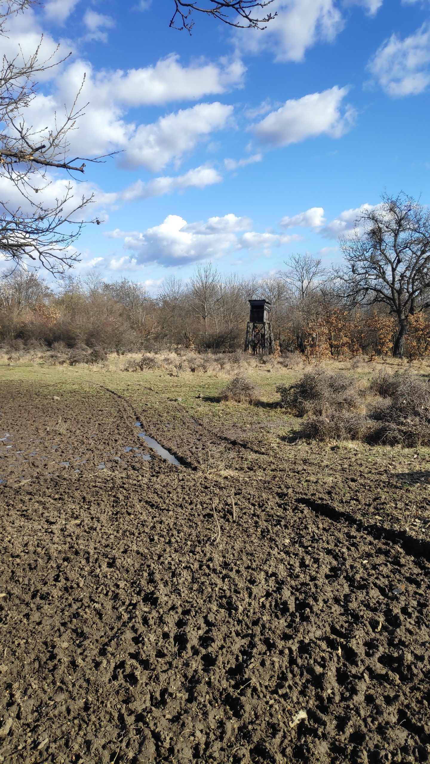
From here, we continue our path on the yellow arc along Dobó István street, from which we soon turn right onto Rákóczi street. Following this, we leave the settlement and continue on a dirt road until we reach a hunting blind. This is our second checkpoint; the marker is located on the side of the blind.

From the blind, our path continues to the left, where after a slight bend and an ascent, we reach our next checkpoint, "Greater Hungary" (Nagy-Magyarország). Between the two world wars, the Levente youth of Kisnána decided to make a large stone map on the hillside depicting Hungary before the Peace Treaty. We can see the remains of this at this spot today. On one of these stones, we can see the V of the checkpoint.

From here, we head west and descend into the Ördögvályú valley, at the bottom of which the Ördögvályú stream flows during rainy weather (in other places, it is also referred to as Forrás stream). Climbing up from the valley, we rejoin the Mary route. There is also a lookout point here, but be careful, because wasps have nested in it! Continuing from here in a westerly direction, after a small bend, looking back towards the lookout, we can see the White Shore (Fehér-part). Here we can find several larger rocks on the hillside, one of which is the so-called "Goat-head rock" (Kecskefejes-szikla), named after a carving shaped like a goat's head. According to legend, László Móré buried his treasure under this rock. If you have the mood and opportunity, you can search for this rock. Continuing from here, leaving the vineyards at a sharp bend, we don't follow the road but turn off the Mary route and continue our journey on the yellow arc in a Southerly direction. Here we find our next checkpoint, painted on a stone.

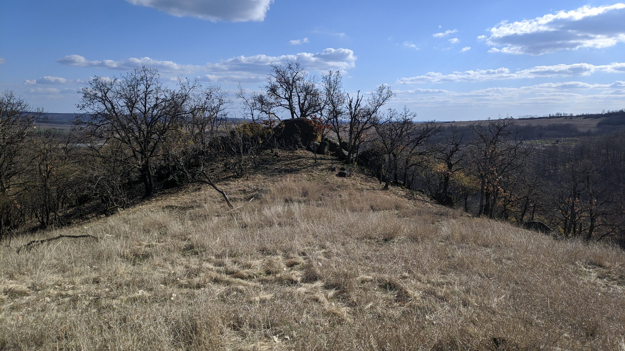
Heading South, we approach the Macskavár, the destination of our hike. You can sit and rest on the 3-4 meter high rocks and look around at the surrounding mountains and valleys. Not far away is an armchair-like rock, from which you can also comfortably overlook the surrounding areas. The checkpoint marker can be seen on the northern side of the rocks.

Leaving the Macskavár, we continue our path South. Unfortunately, the hiking trail marker is not properly painted here, but simply keeping South, we reach the Waterworks, on the eastern side of which is the old laundry and the so-called "mocsolyák", which were once used for soaking hemp. Nowadays, they are used by wild boars. Turning onto the main road from here, we head back to Kisnána, but after the village sign, we turn right and continue walking at the end of the gardens. From here we turn left and walk on the stony, dirt road to Sport street, where we start heading up, but at the first opportunity turning right we head down towards the sports field, but before that we turn left, where after a few meters we reach the main road. Turning right here, we soon reach the doctor's office, from where we can get back to our starting point on the already familiar route.

This hiking trail was designated in the early 2000s as part of the Mátraalja wine routes. Péter Simon wrote an experience report about walking it; he walked the route in 2001 with the then-mayor Sándor Koncsos and Béla Szőke, the owner of our Guesthouse. The experience report is available at the following link:  Mátra | Élménybeszámolók (matrahegy.hu)

You bring the boots, we provide the rest.

Book your stay at the foot of the hiking trails!